파일:SWE-Map Rike.svg
K-위키

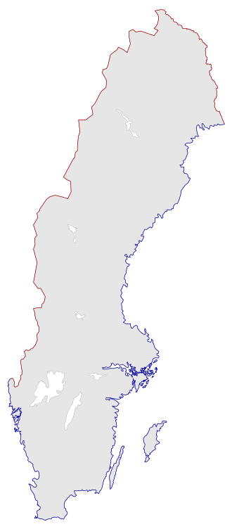
SVG 파일의 PNG 형식의 미리보기 크기: 263 × 599 픽셀. 다른 해상도: 900 × 2,048 픽셀
원본 파일 (SVG 파일, 실제 크기 290 × 660 픽셀, 파일 크기: 59 KB)
| 설명 |
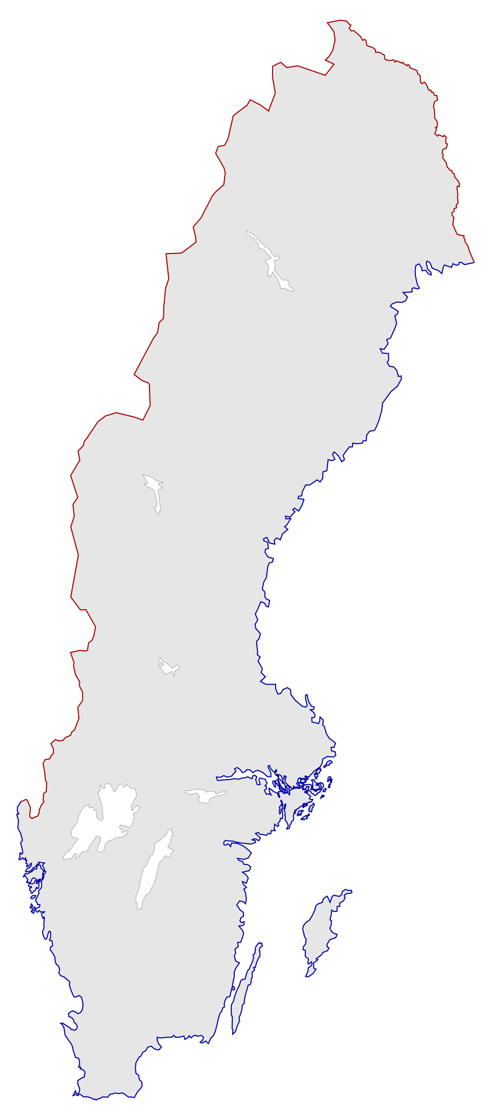
English: A blank map of the national border of Sweden together with the major internal lakes. It includes both the nation with lakes as a path (grey with black borders) and separate red/blue paths for land/sea borders.
For info on how to easiest edit the map see SWE-Map Documentation
Svenska: En tom karta över Sveriges riksgräns samt de största sjöarna. Inkluderar både riket som ett objekt (grå med svarta gränser) samt separata lands/sjö gränsobjekt (röda/blåa linjer).
För information om hur kartan lättast modifieras se SWE-Map Documentation |
| 날짜 | |
| 출처 |
The map was edited and modified by Lokal_Profil from SWE-Map Kommuner.svg.
|
| 저자 | Lokal_Profil |
| 저작권 (이 파일을 인용하기) |
   이 파일은 크리에이티브 커먼즈 저작자표시-동일조건변경허락 2.5 일반 라이선스로 배포됩니다. 저작자표시:
SCB allow free use (including commersial use and derivative work) of their maps |
| 다른 버전 |
이 파일은 다음으로 파생됨:
|


파일 역사
날짜/시간 링크를 클릭하면 해당 시간의 파일을 볼 수 있습니다.
| 날짜/시간 | 섬네일 | 크기 | 사용자 | 설명 | |
|---|---|---|---|---|---|
| 현재 | 2012년 4월 23일 (월) 22:23 | | 290 × 660 (59 KB) | commonswiki>Lokal Profil | Standardised per the new SWE-Map series (map size and css) and added land-sea borders. |
이 파일을 사용하는 문서
이 파일을 사용하는 문서가 없습니다.